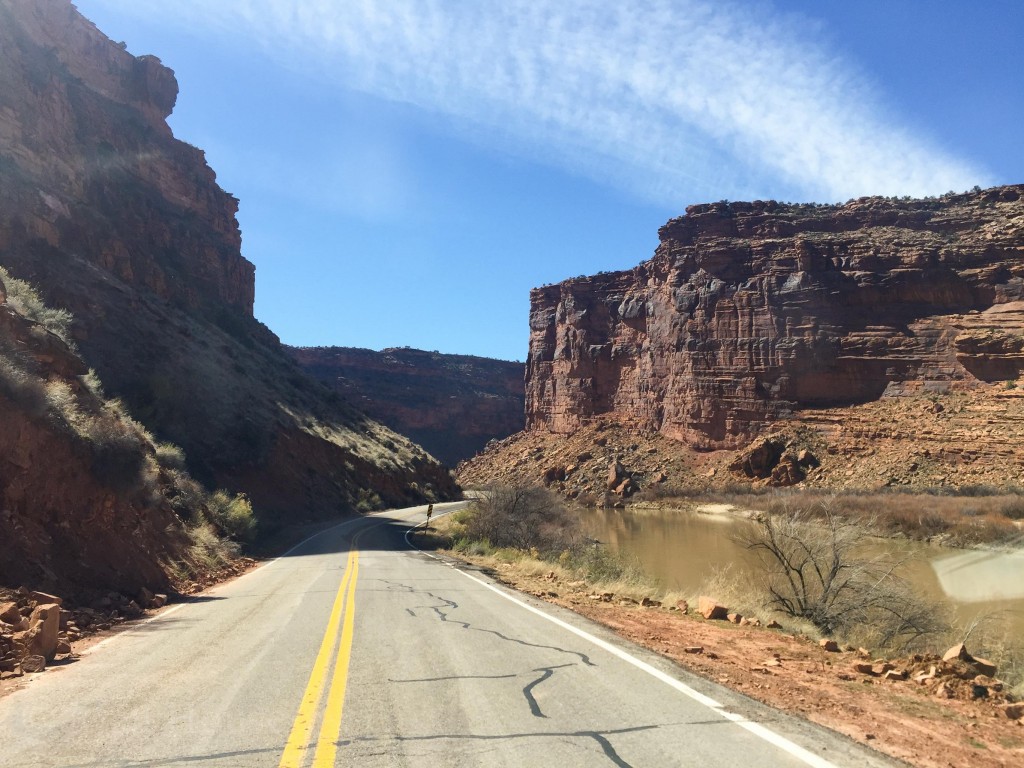
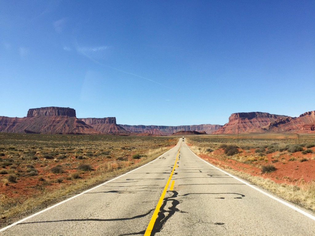
The last time I was “in” Moab was during a road trip from Oregon to Colorado in February 2014. I had already driven about 8 hours from Zion National Park via Monument Valley. I only stopped to get gas and a snack before continuing on to beat a snowstorm in the mountains of Colorado. The other time I was in Moab, it was for only 24 hours. Did a hike, tried and failed at a climb, ate some food and drove home. This time I wanted to spend some real time in the area and explore some things. So at 6am on March 18th we were Moab bound…in a Front Range snowstorm.
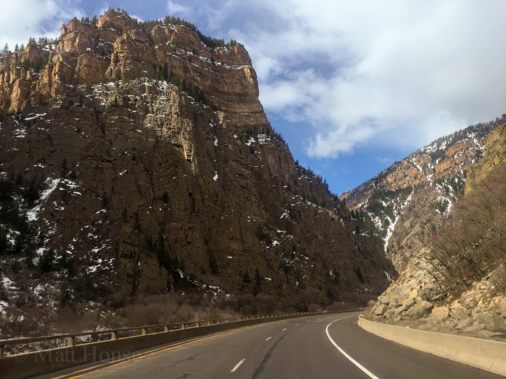
It was odd. Loading the car in boots and a jacket and base layers knowing I’d be in shorts and a t-shirt weather later that day. The drive from Boulder to Golden was terrifying. No lanes, heavy snow, 10-20mph, ice coating the wiper blades. It was 4wd all the way to Eagle, CO where the snow finally stopped.
https://www.instagram.com/p/BDGov4FMCfo/
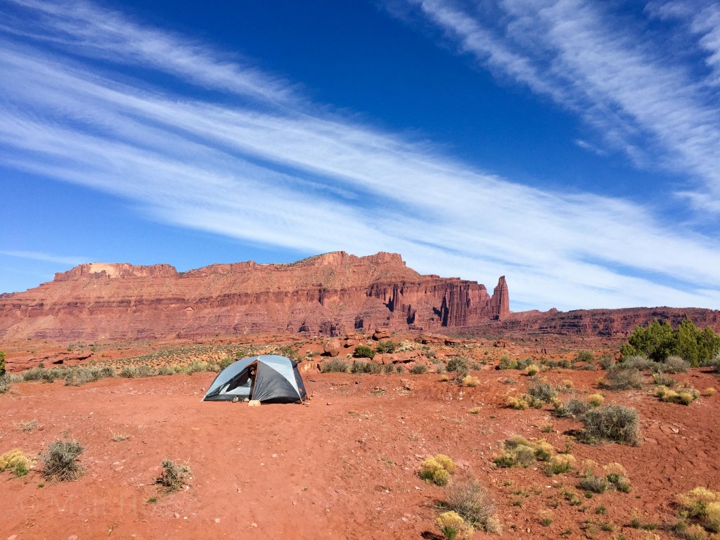
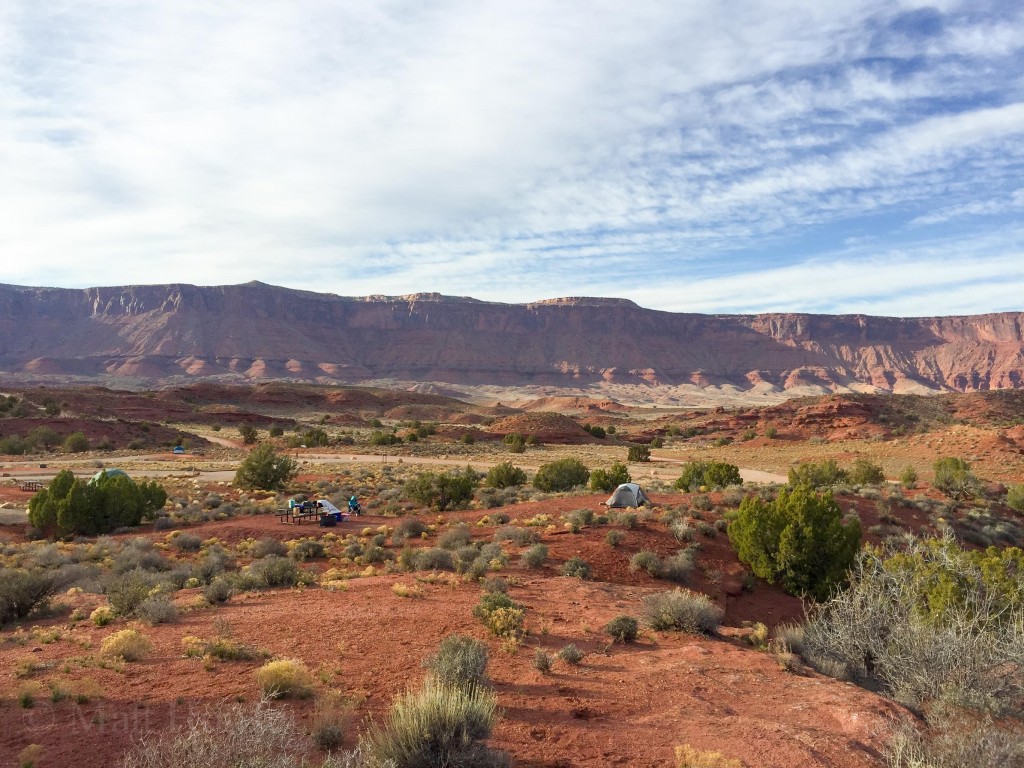
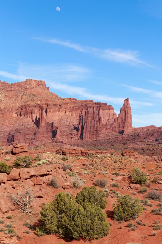
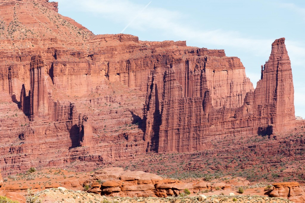
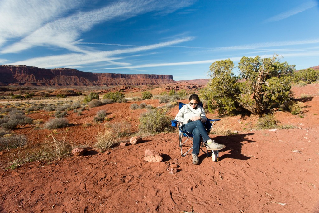
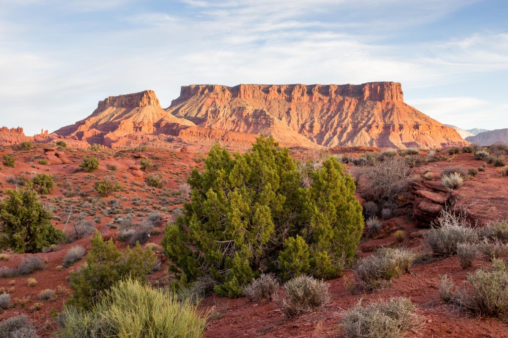
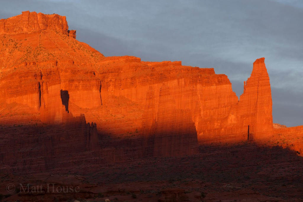
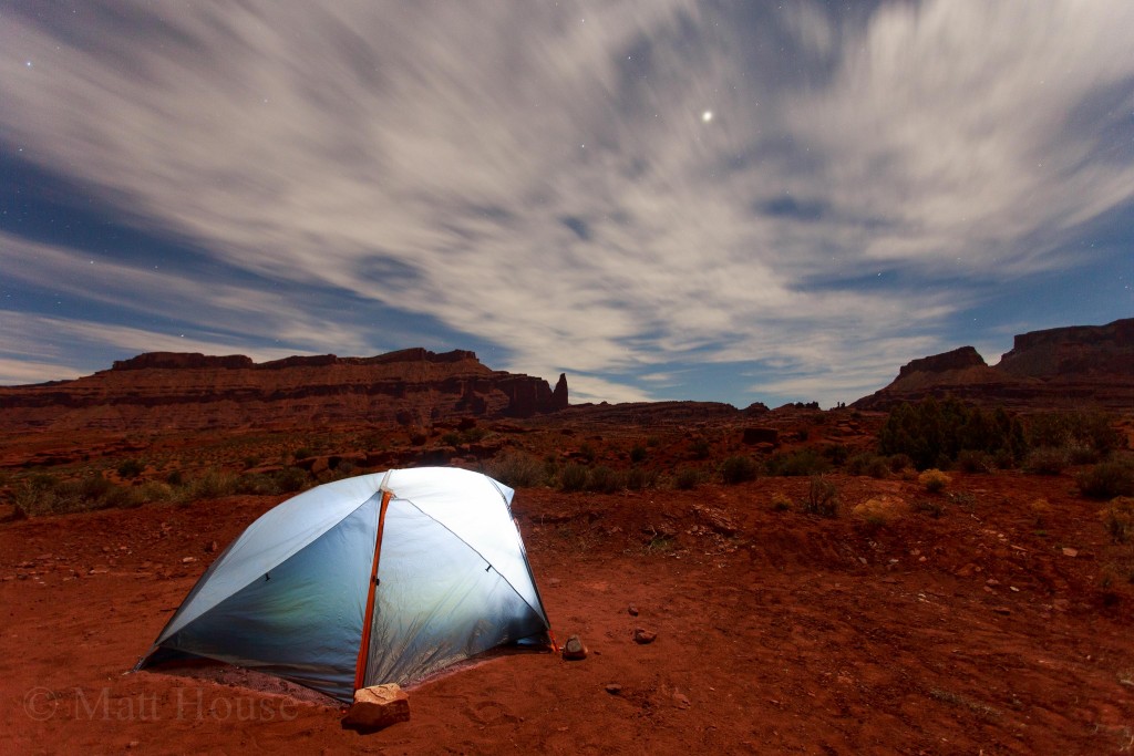
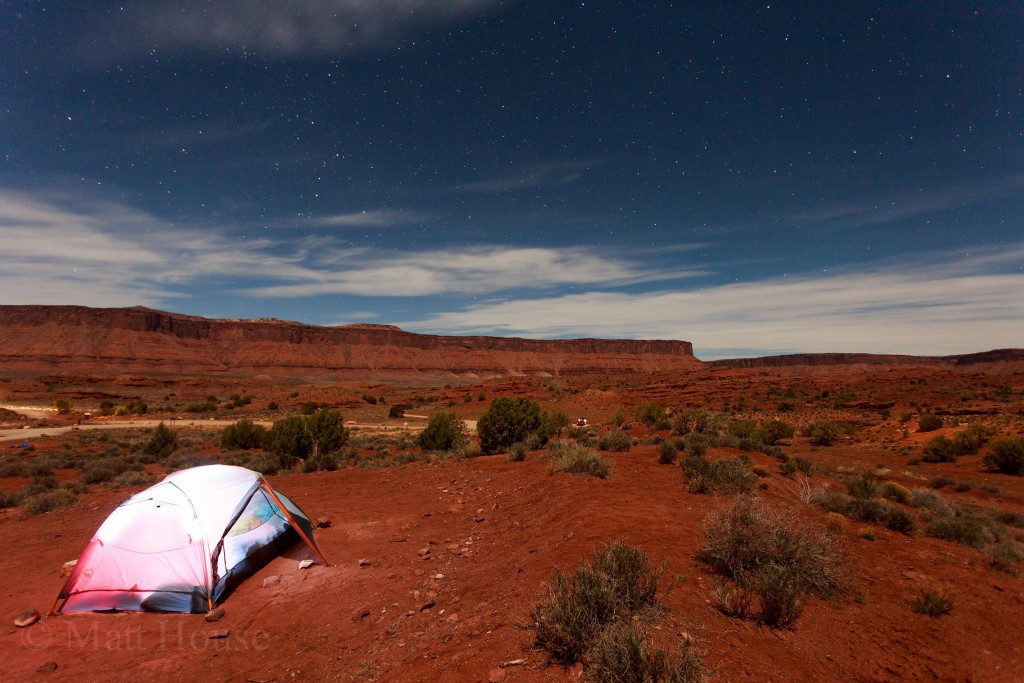
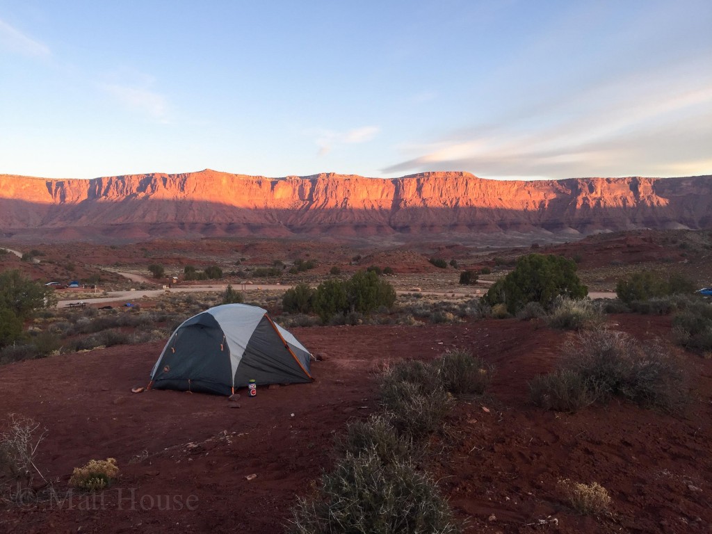
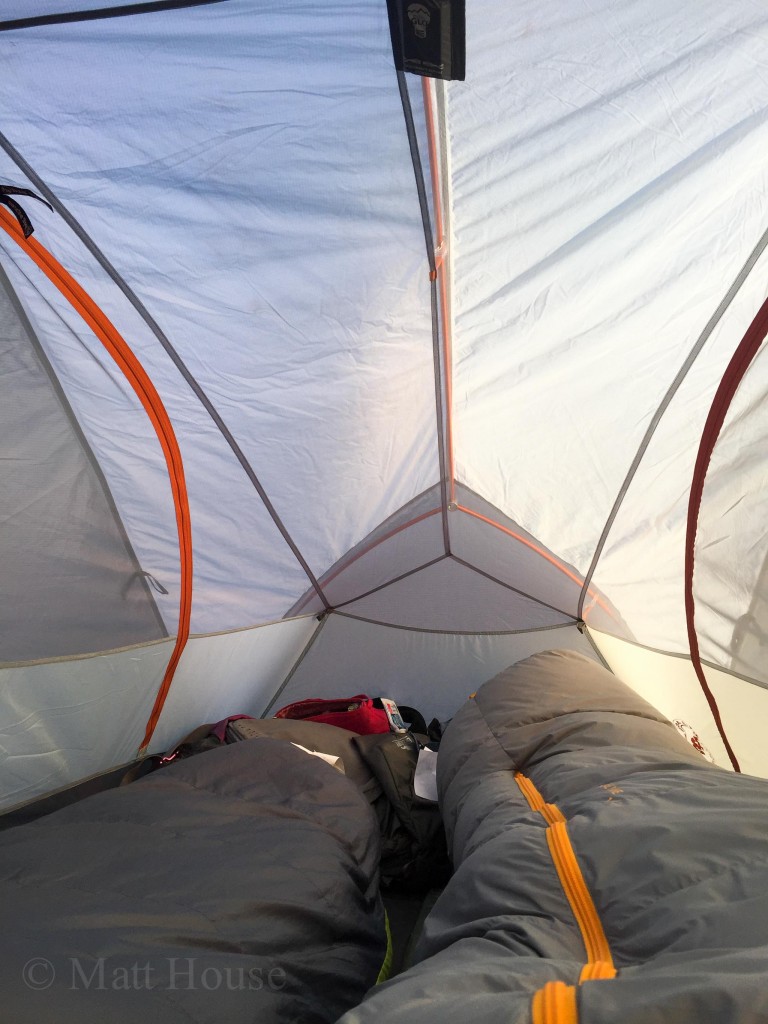
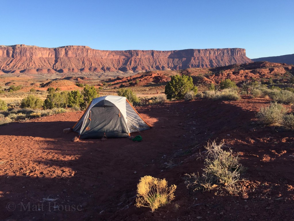
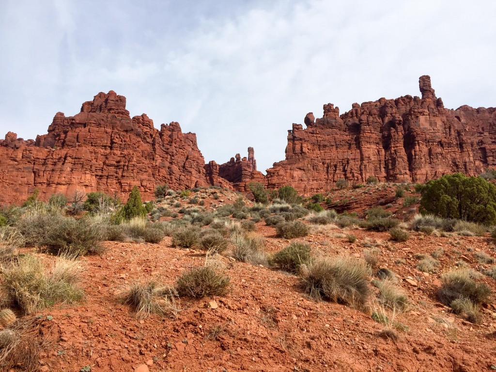
It took some searching to find a campsite. Friday afternoon mid-Spring Break, driving down toward Moab to Big Bend and then back up canyon to Onion Creek. We managed to snag a site with a great view of the Fisher Towers.
After 7 or 8 or 9 hours in the car we just hung out at camp, made dinner and then went to bed.
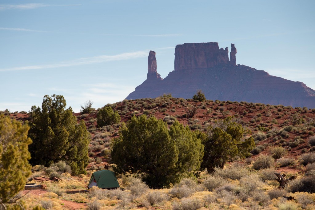
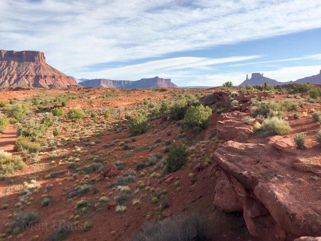
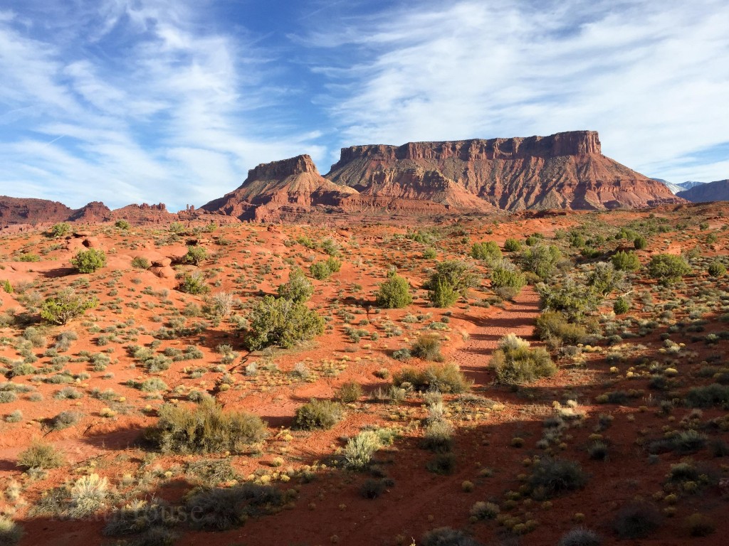
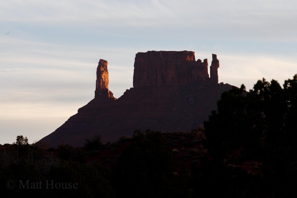
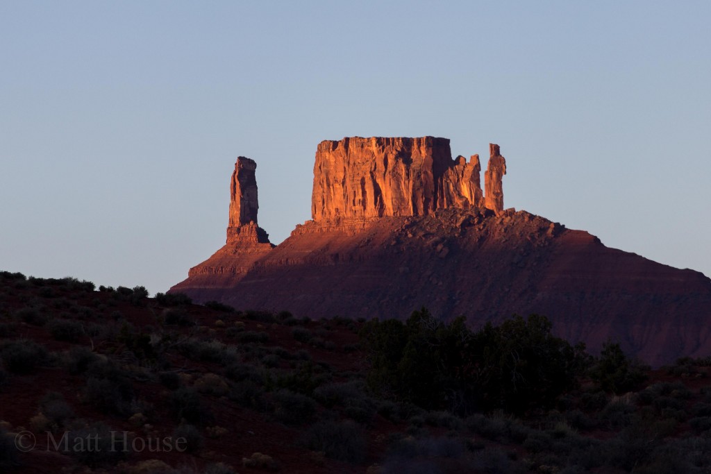
Castleton Tower, The Rectory and The Priest from camp. There is a person on the summit of Castleton but it’s hard to see.
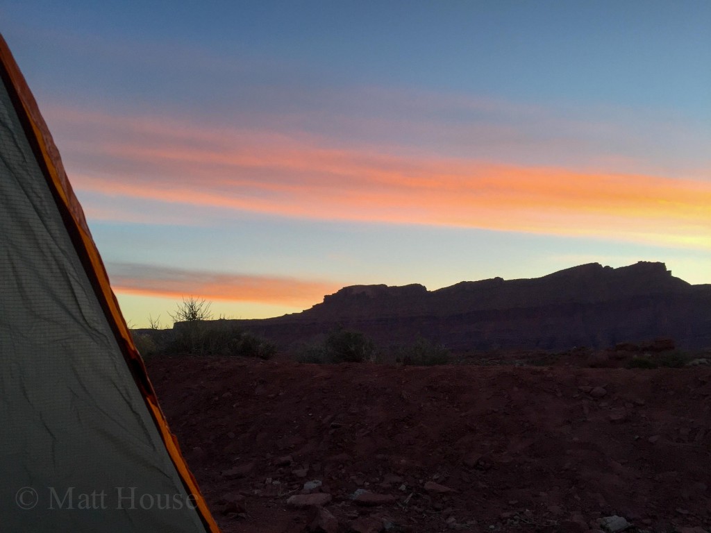
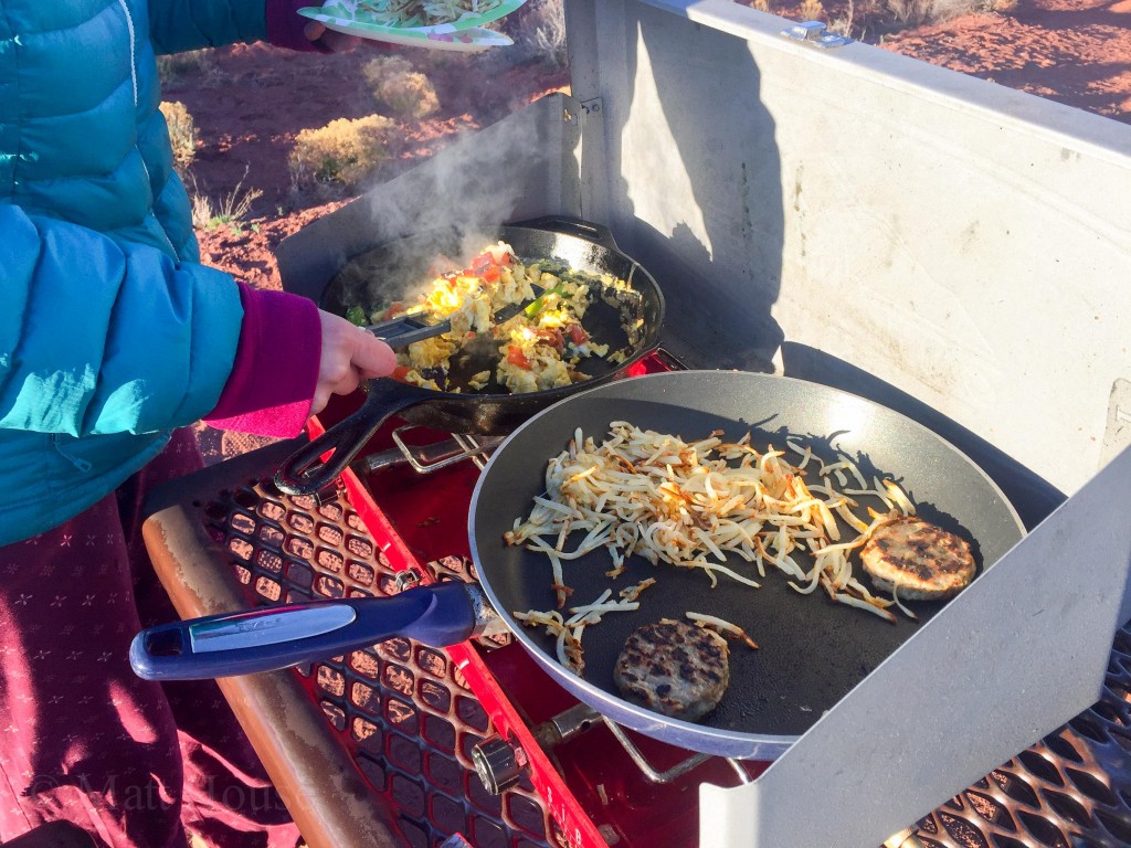
It was a casual morning. Making coffee and breakfast, waiting for the sun to come up over the surrounding cliffs and warm everything up. There wasn’t really an agenda. It was Saturday. We had to go do something but we weren’t sure what. So we lounged around for a bit. Made more coffee.
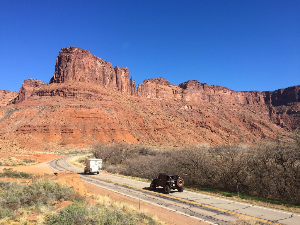
We came up with a plan. Go to Arches National Park and then figure it out from there. Ha. That plan fell apart when the line to get into Arches stretched down the highway. Ok, I know there are some petroglyphs and dinosaur tracks and random hikes down Potash Road. So we turned around and headed that way.
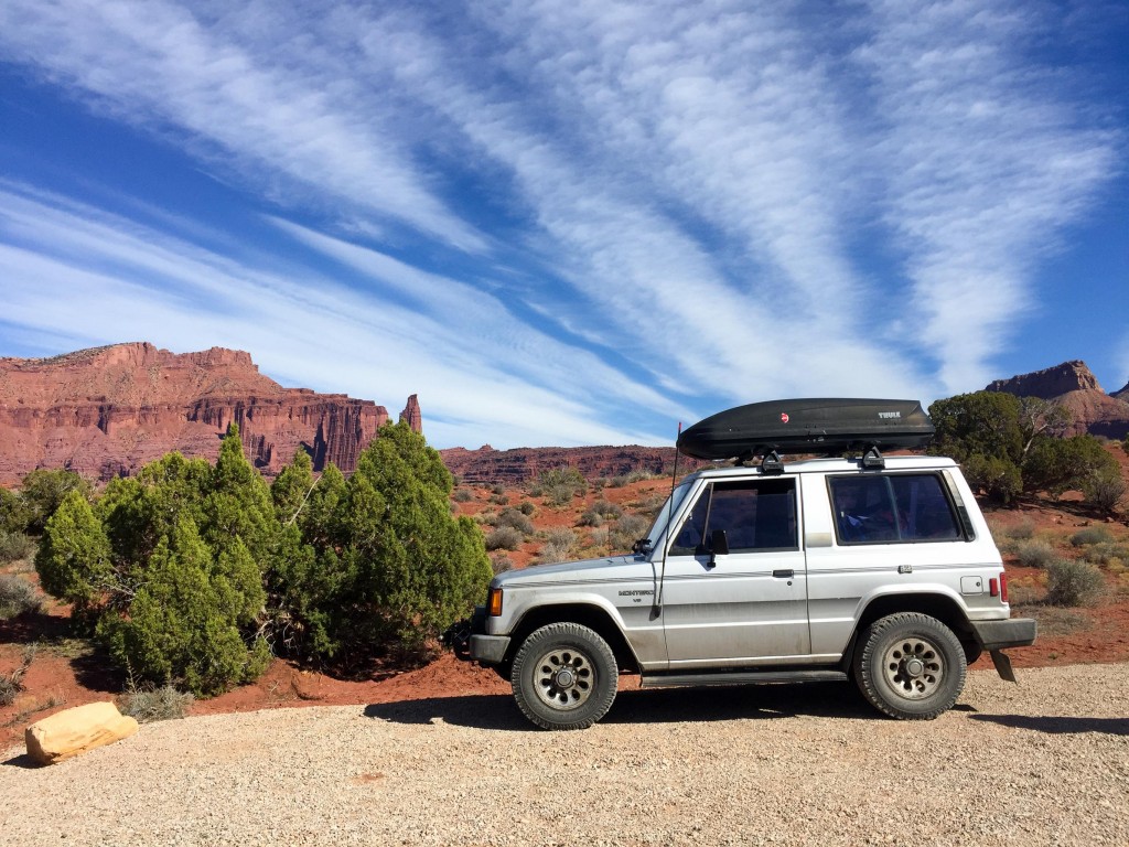
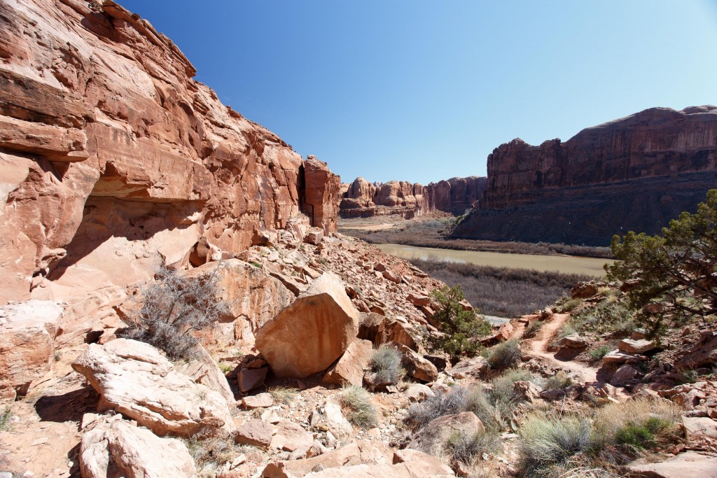
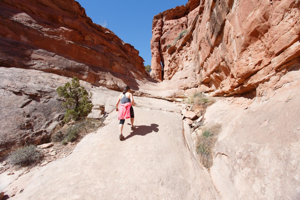
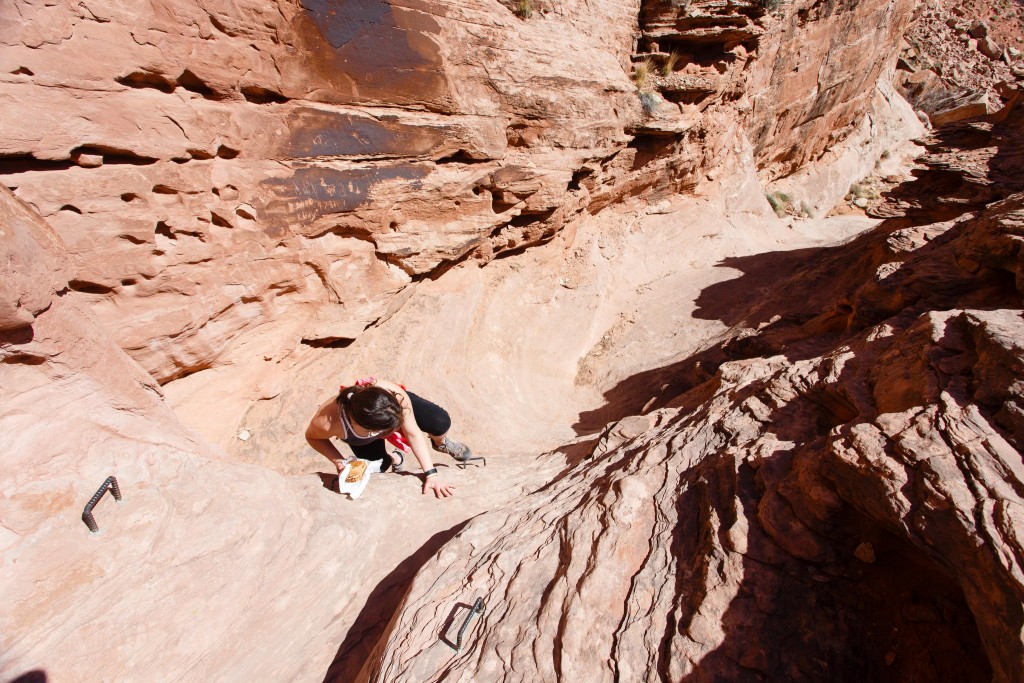
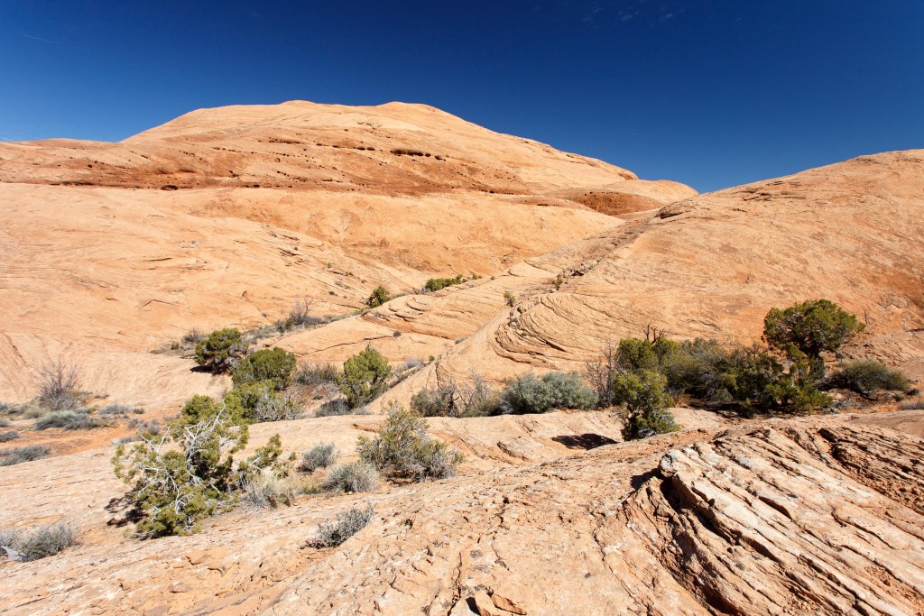
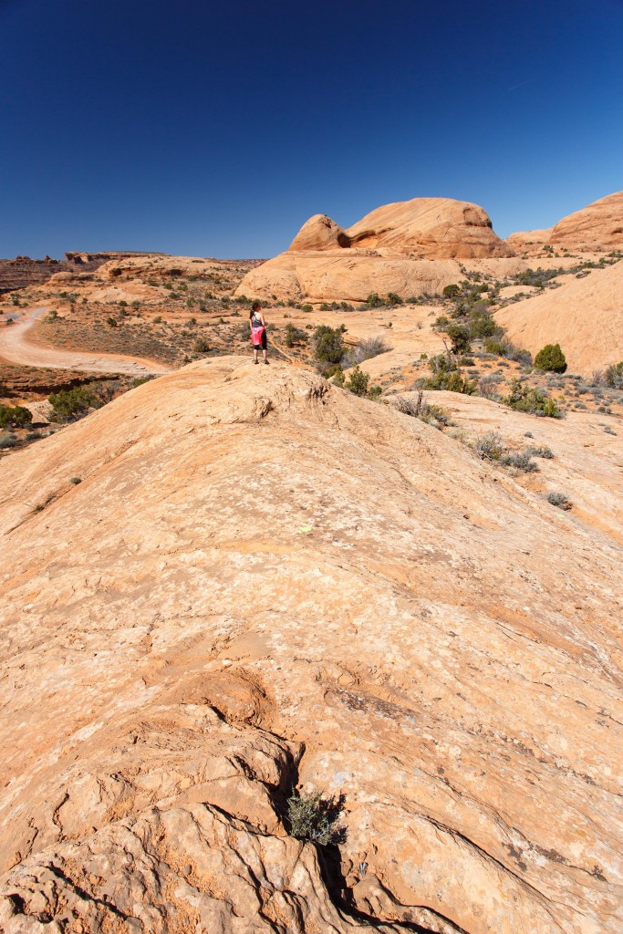
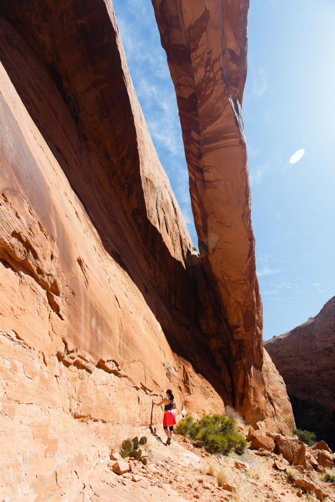
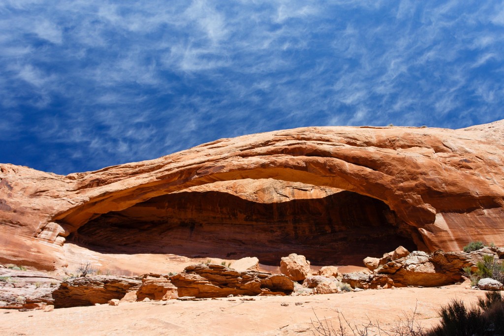
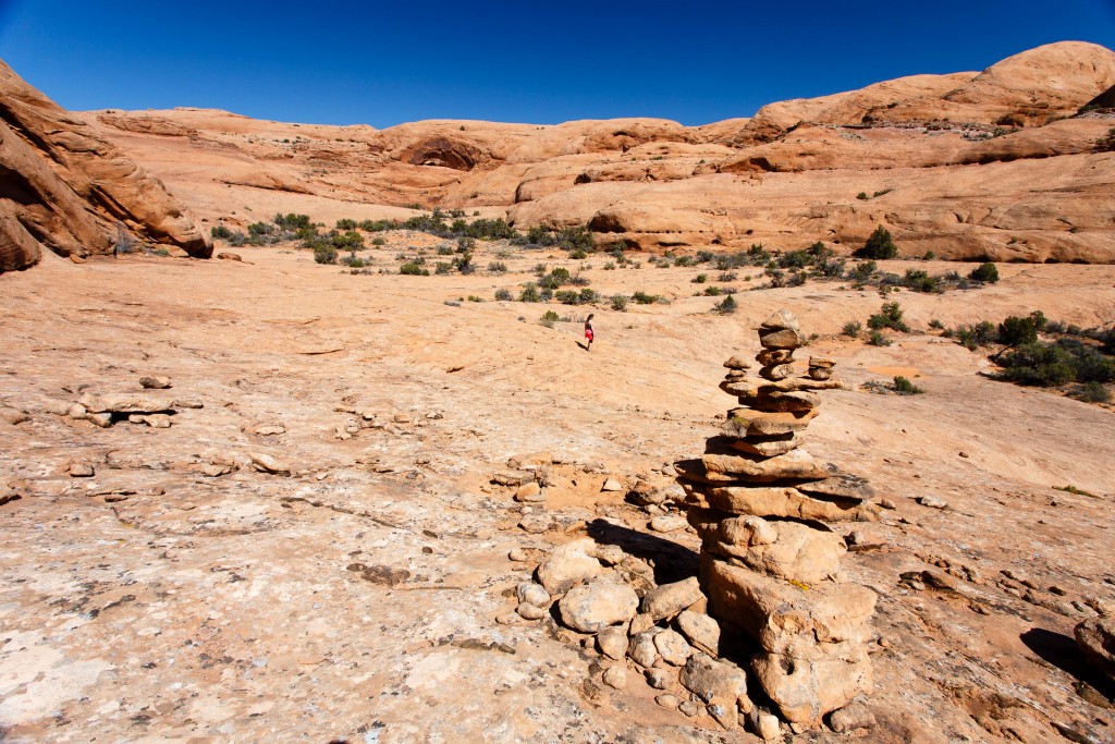
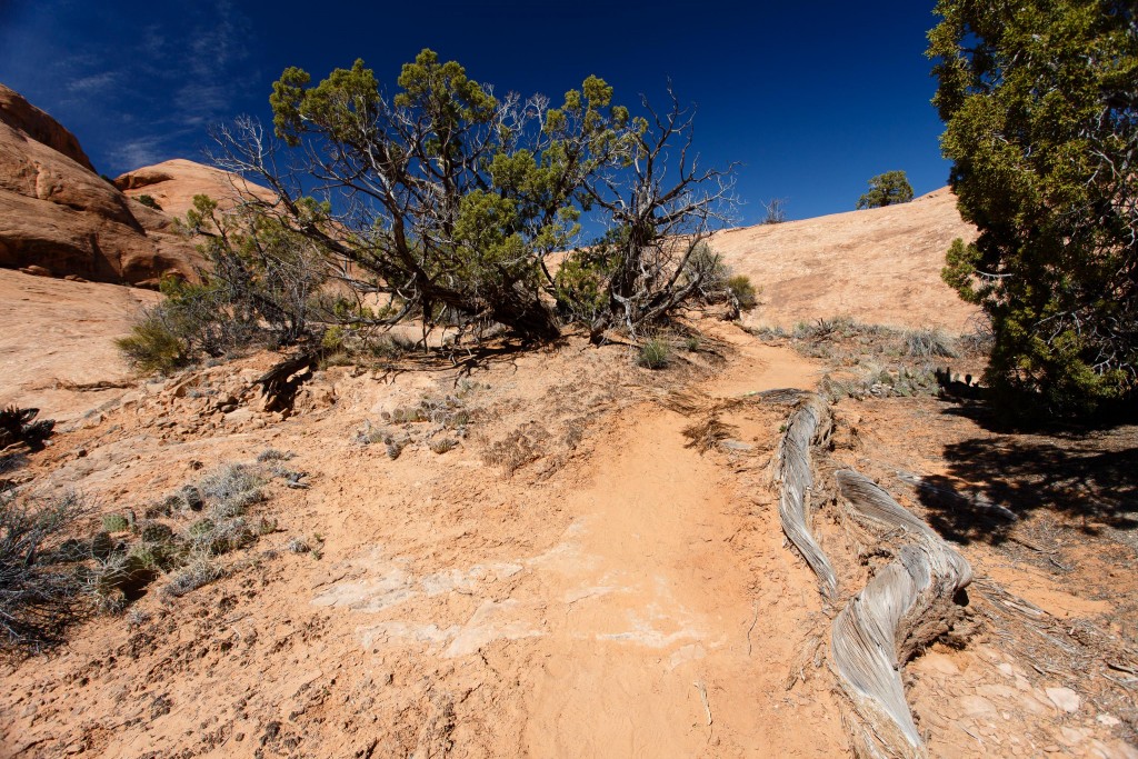
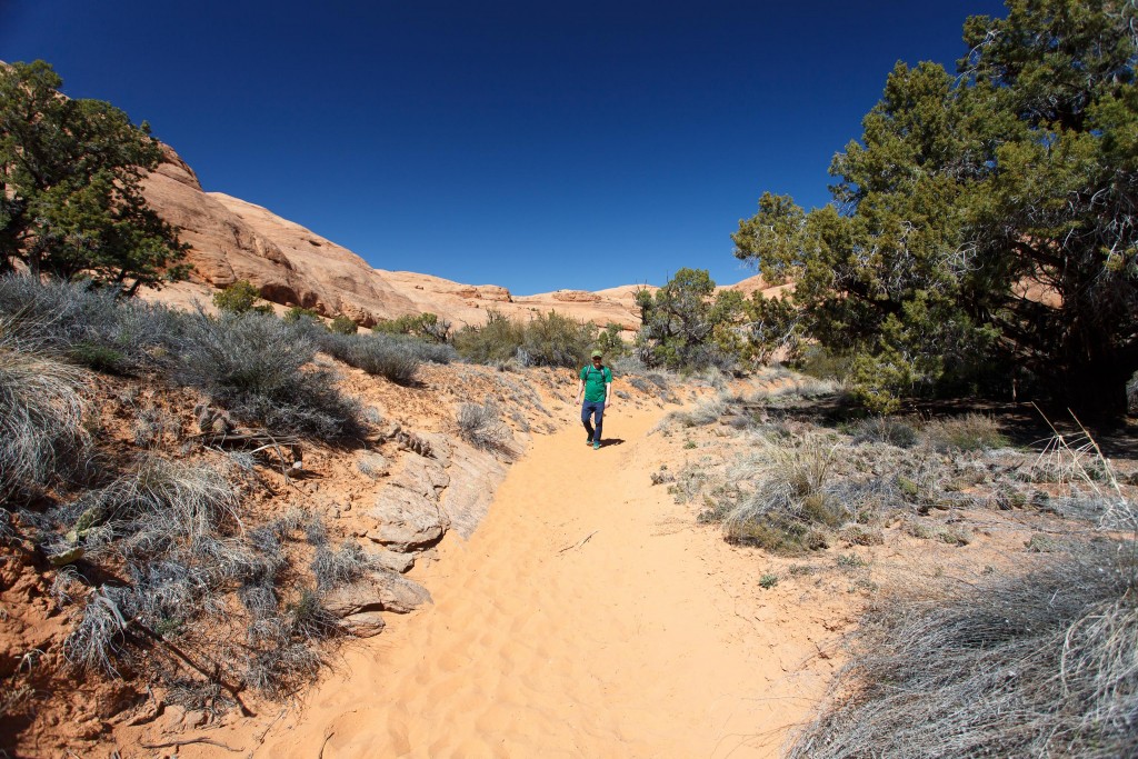
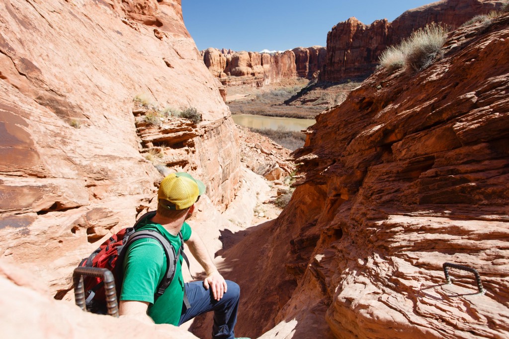
We stopped at the Poison Spider Mesa trailhead where there are some easy to spot dinosaur tracks. Oh hey look a trail to Longbow Arch. Let’s do it. We made some sandwiches in the Montero, filled up water, and started hiking. It seemed like most people were there for either the short hike to the dinosaur tracks or starting the 4wd route up Poison Spider Mesa. We only passed 2 or 3 groups during the hike to the arch.
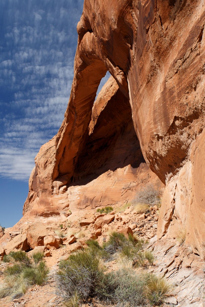
After a relatively short walk across slickrock and sand, we reached the Arch in a cool canyon.
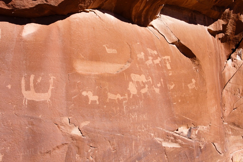
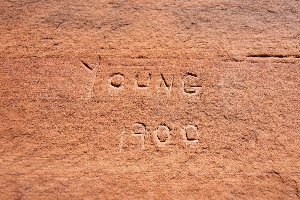
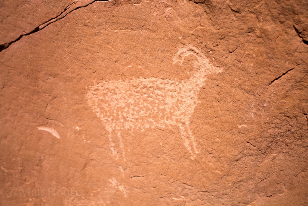
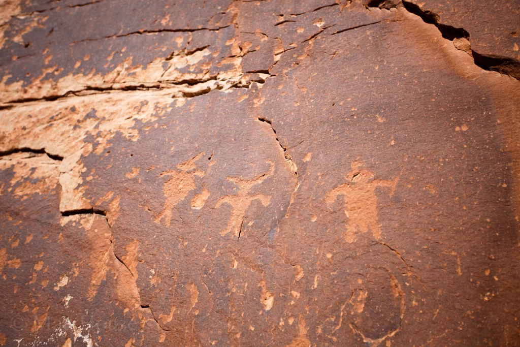
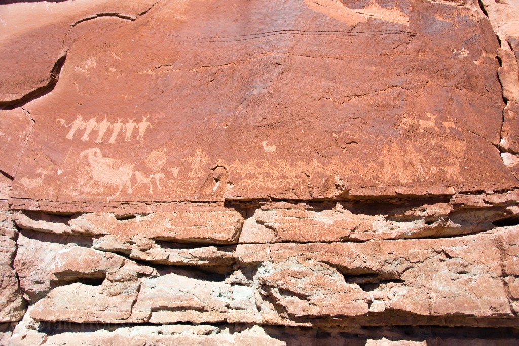
We looped around to check out the petroglyphs close to the trailhead
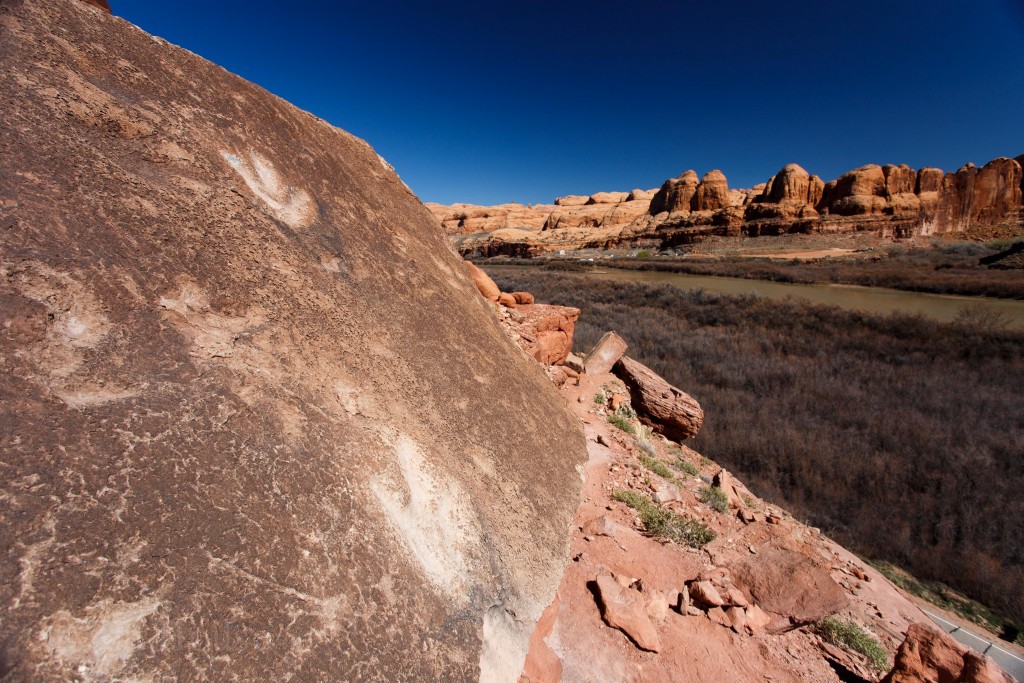
And the dinosaur tracks
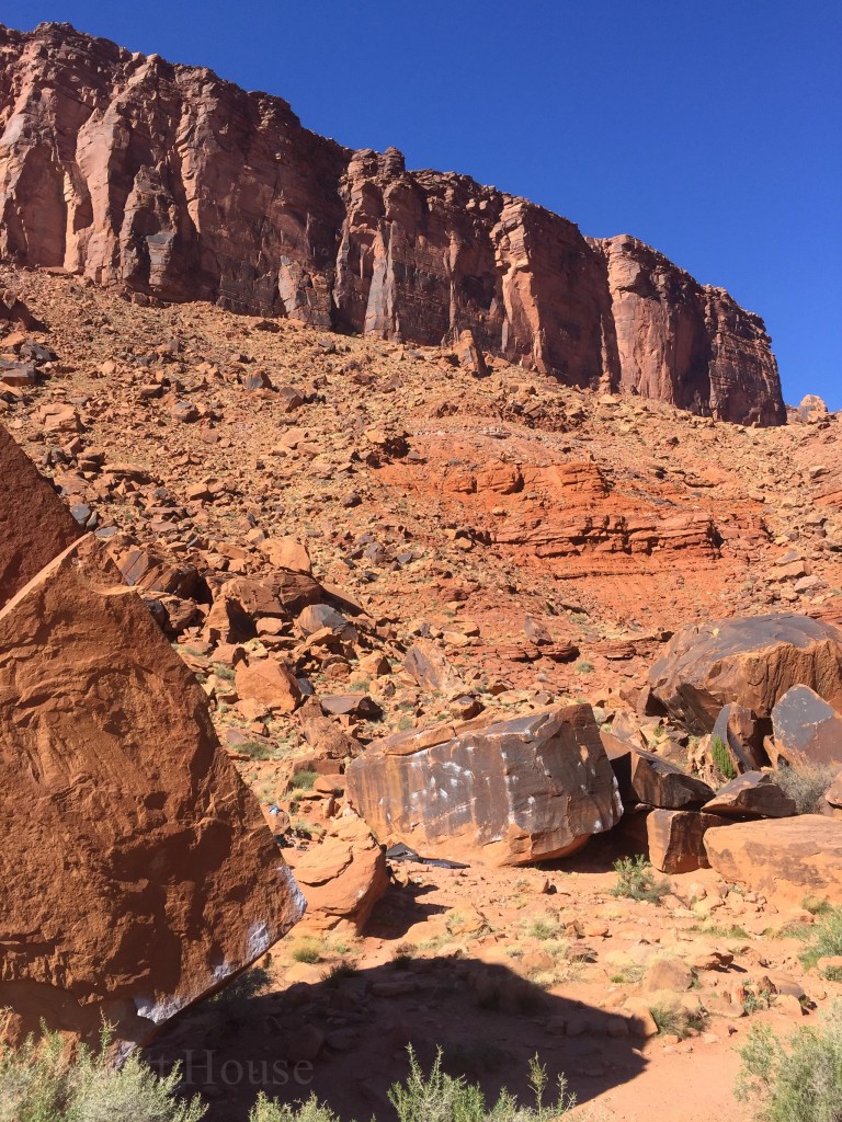
Not sure what to do next we stopped at Big Bend to climb around a bit.
We still had a couple hours before sunset. With the full-ish moon, a night hike sounded like an awesome idea. But dinner was back at camp. So alright, let’s go get the food from camp and then drive into Arches and cook dinner there.
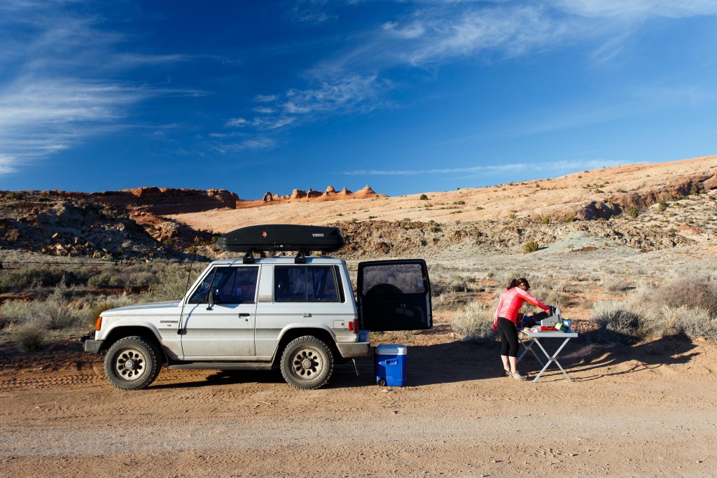
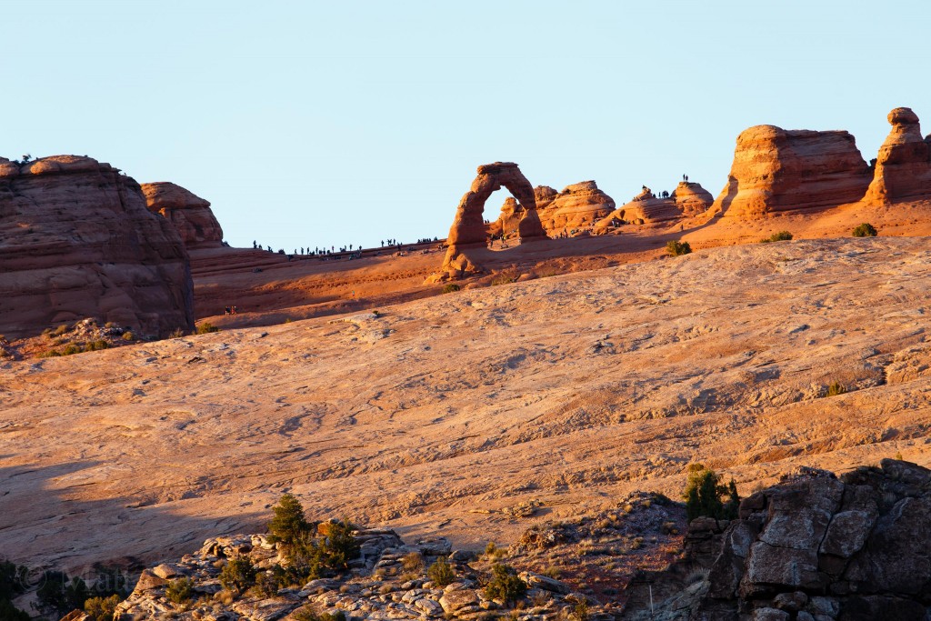
There is a 4wd road off of the Delicate Arch Viewpoint trailhead that we drove down to set up for dinner. It had a decent view of Delicate Arch from a distance. We could see and hear the huge crowd of people that were up there for sunset. So glad we weren’t surrounded by all that.
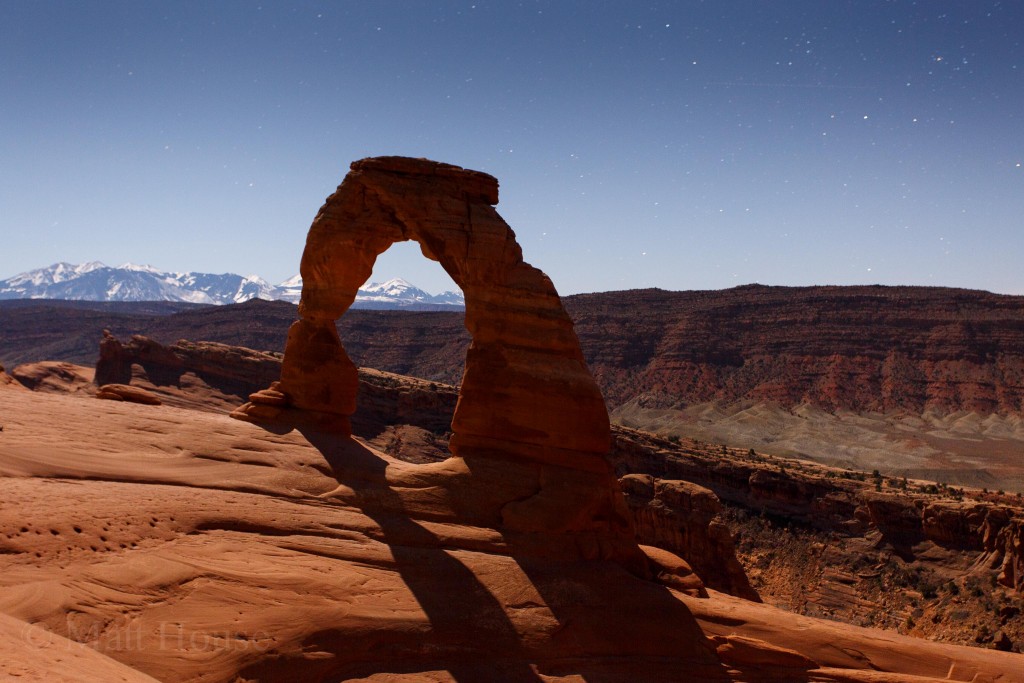
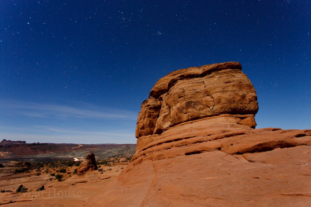
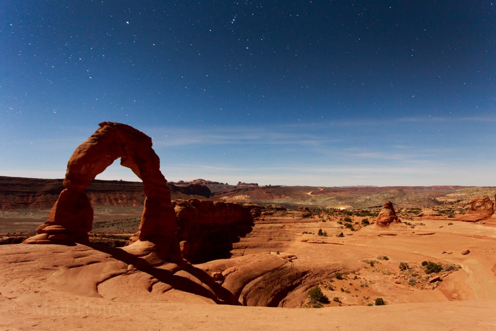
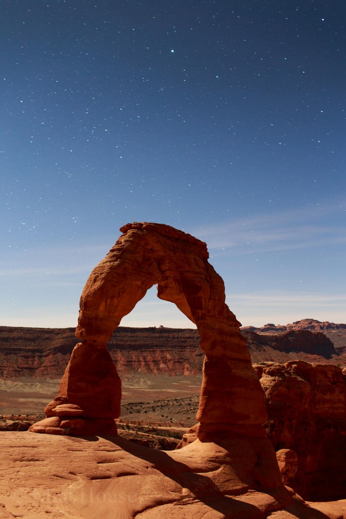
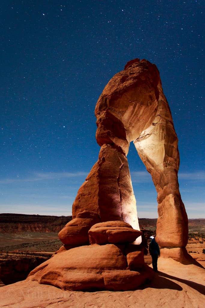
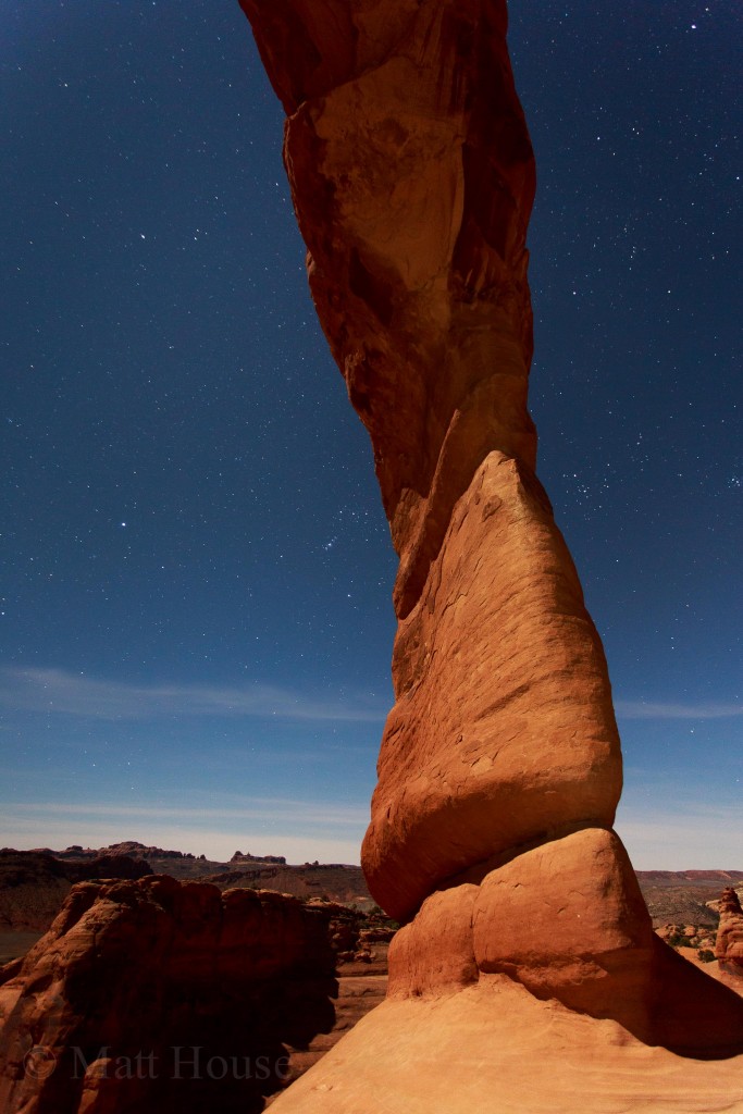
After sunset we cleaned up dinner and got layered up for the night hike to Delicate Arch. We passed at least a hundred or two hundred people on the way up to the Arch. It seemed that only a handful of people were either hiking up in the dark like us or had stayed up at the Arch to take photos. Experiencing the Arch by moonlight was an unforgettable experience:
I could have stayed there all night taking photos as the moon changed the shadows. But we had 35 minute hike and an hour drive to get back to camp. So we headed out.
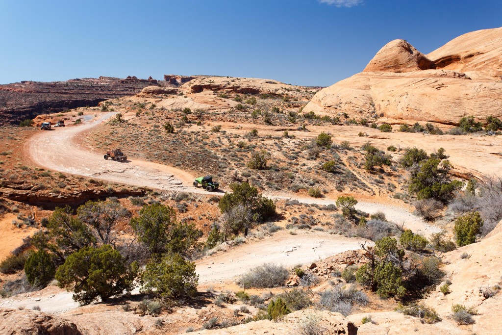
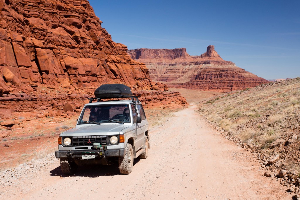
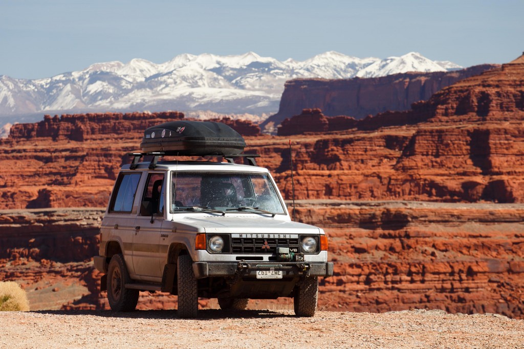
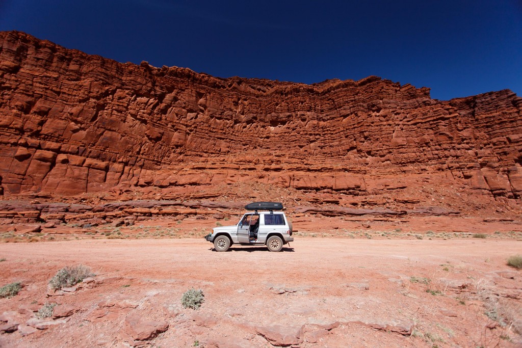
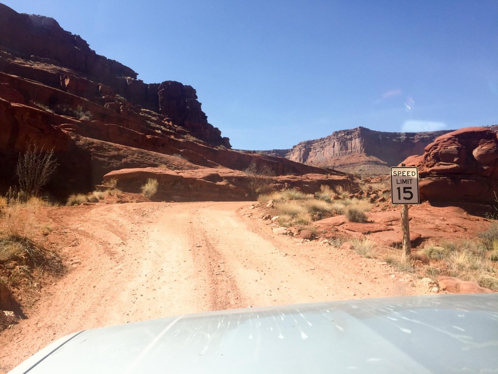
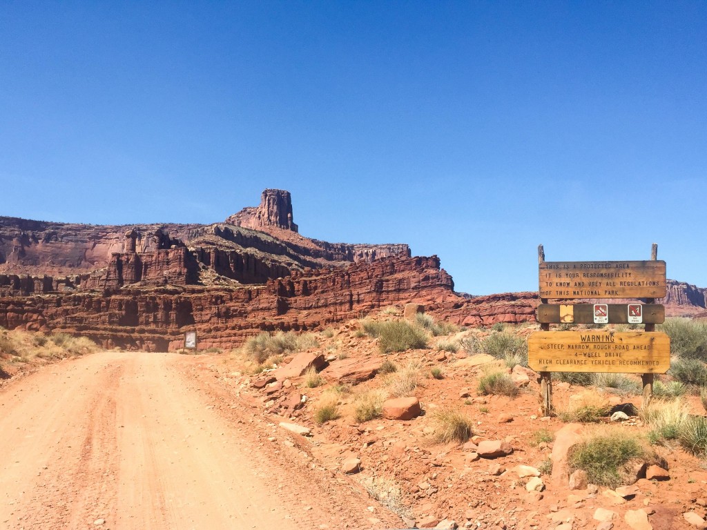
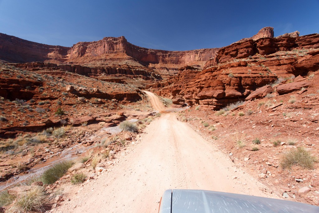
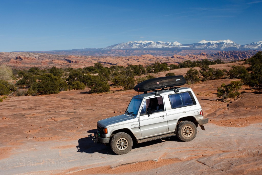
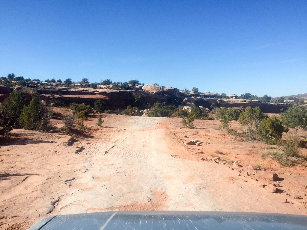
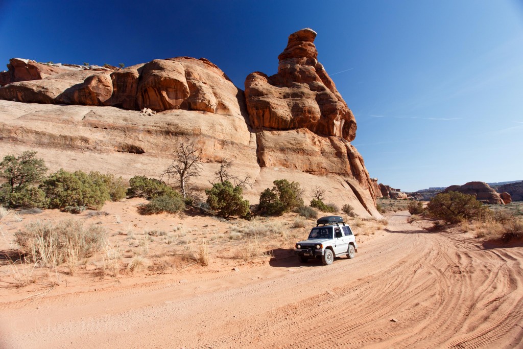
The next day was a day for driving the Montero off-road as much as possible.
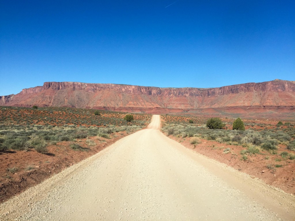
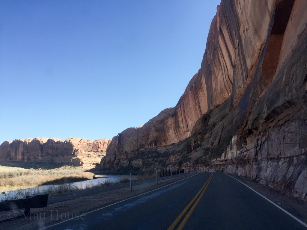
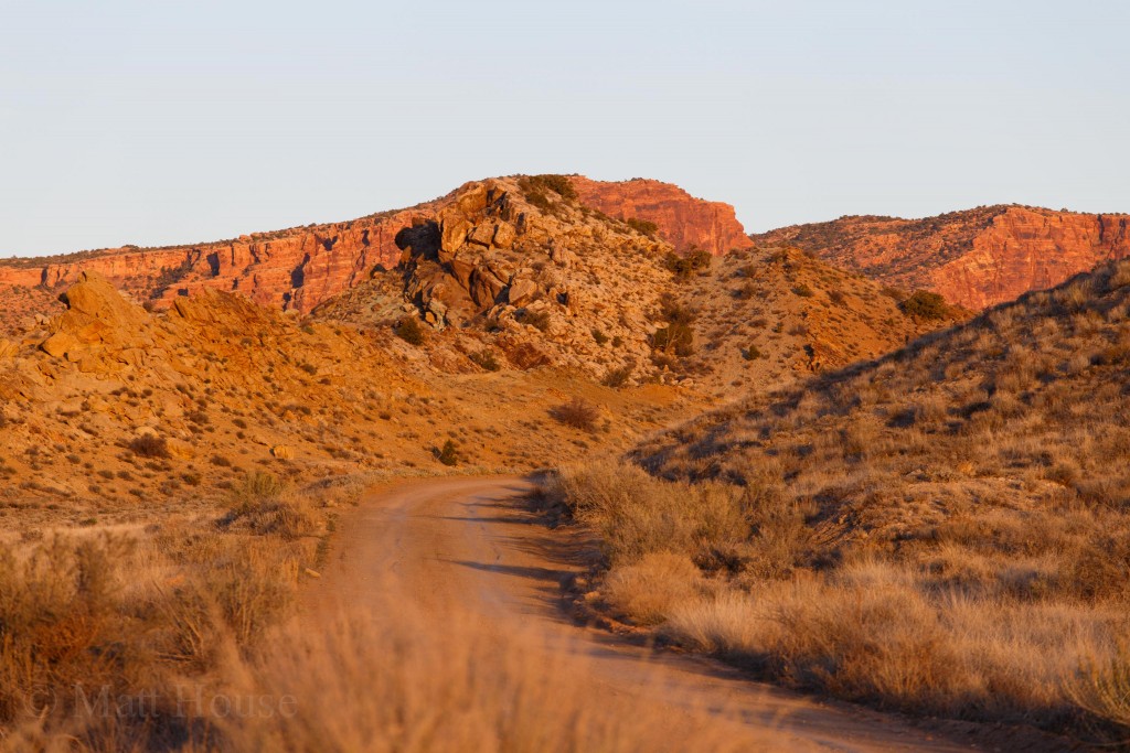
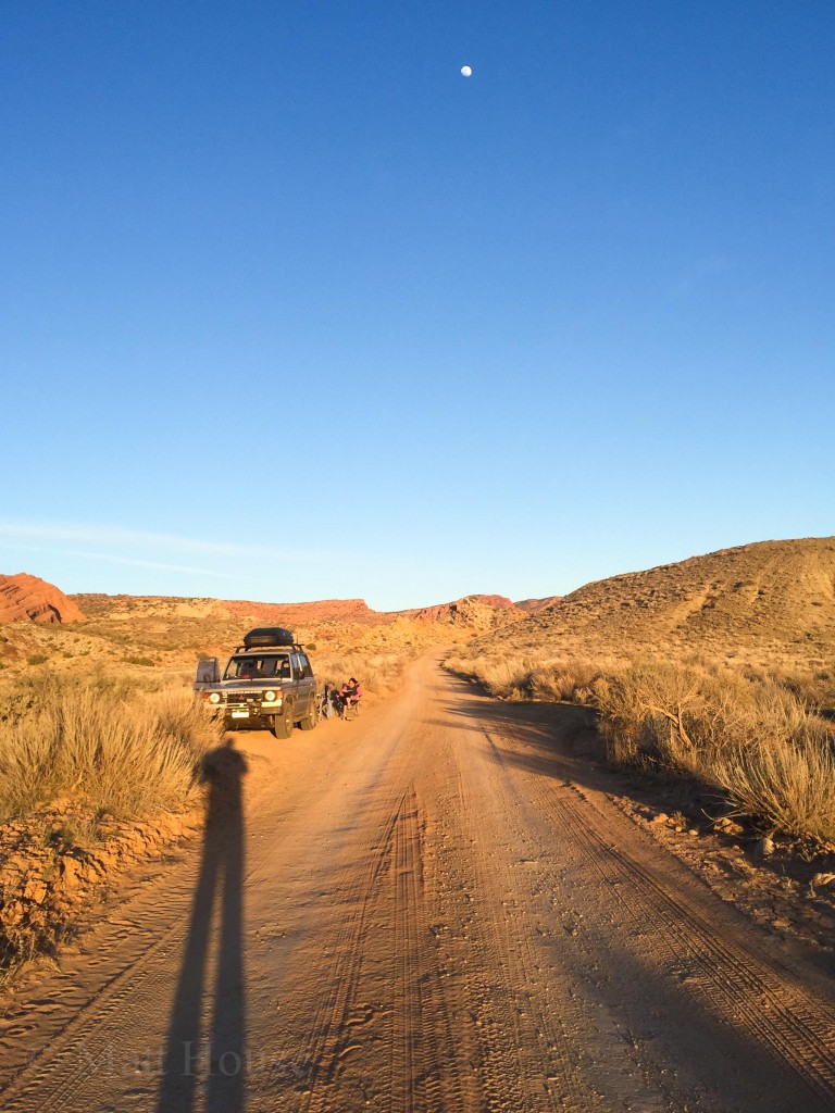
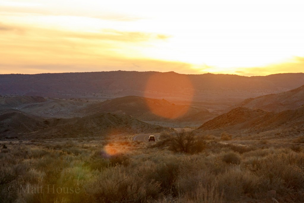
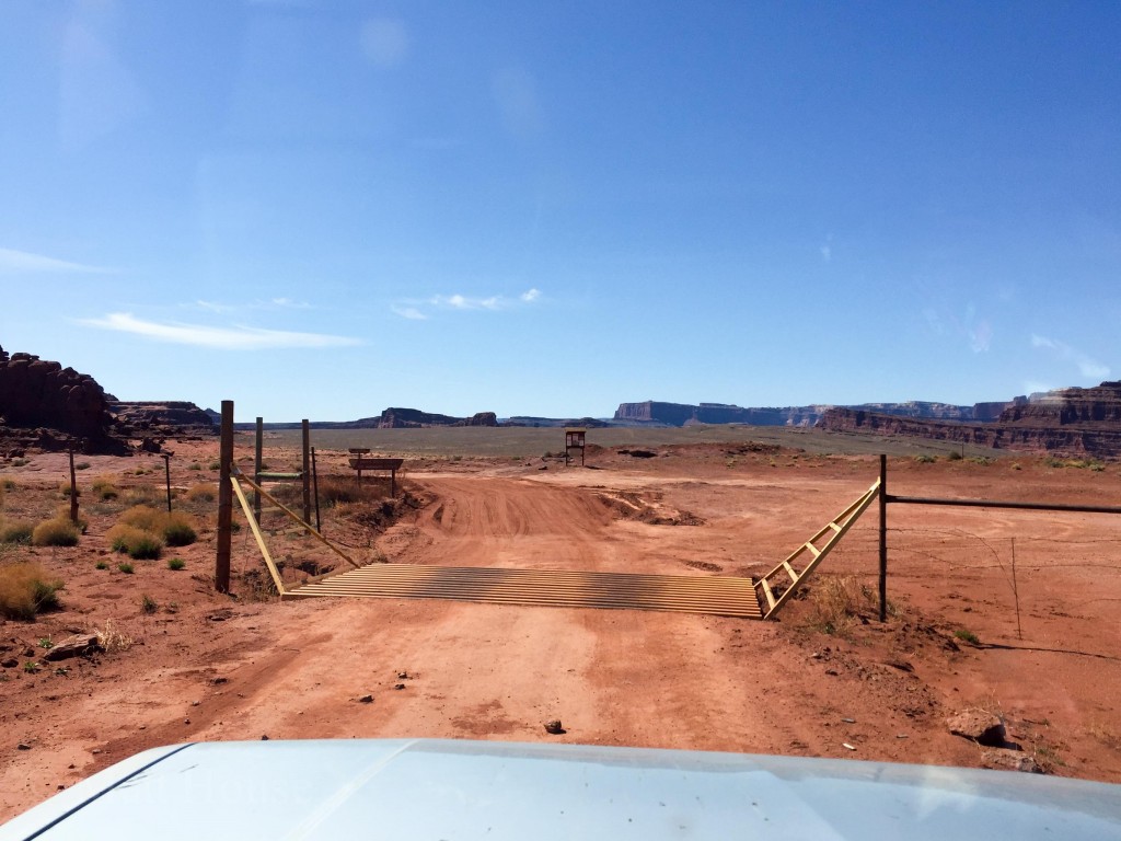
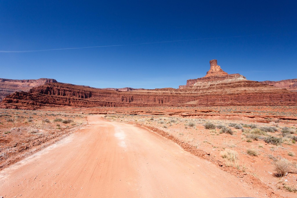
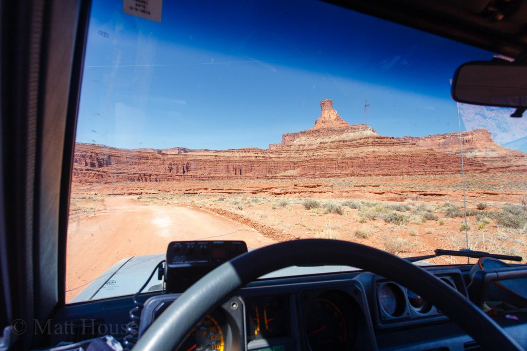
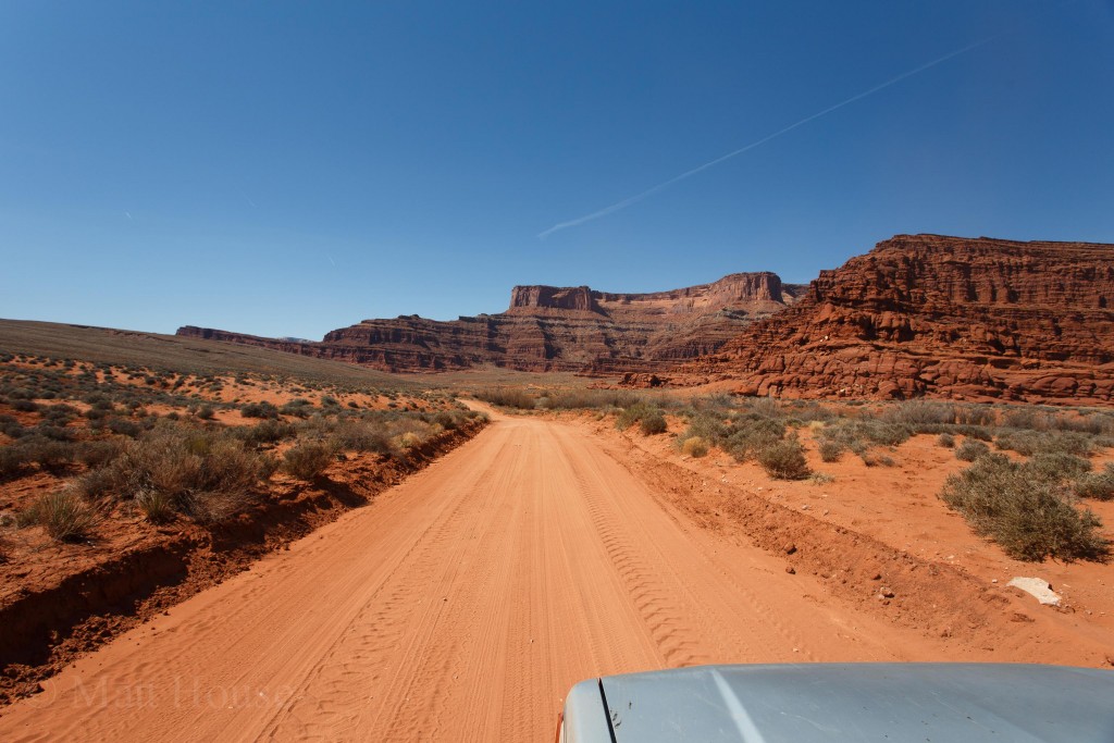
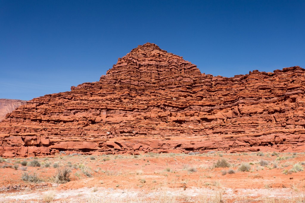
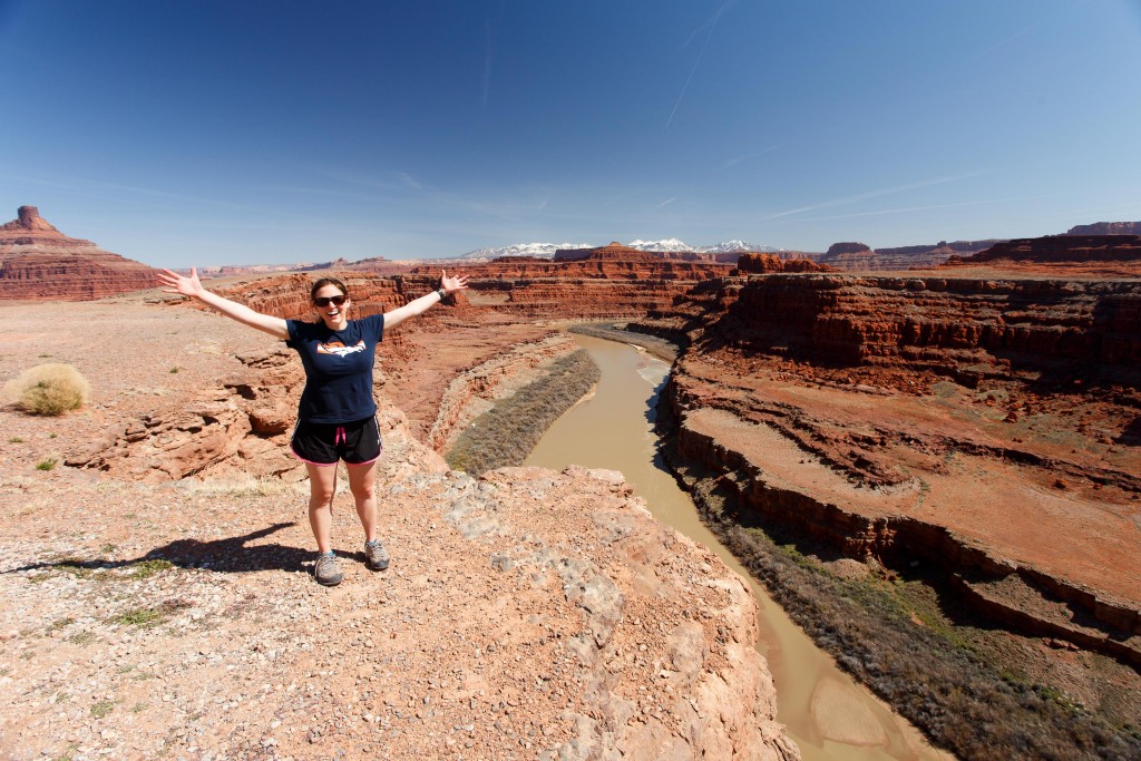
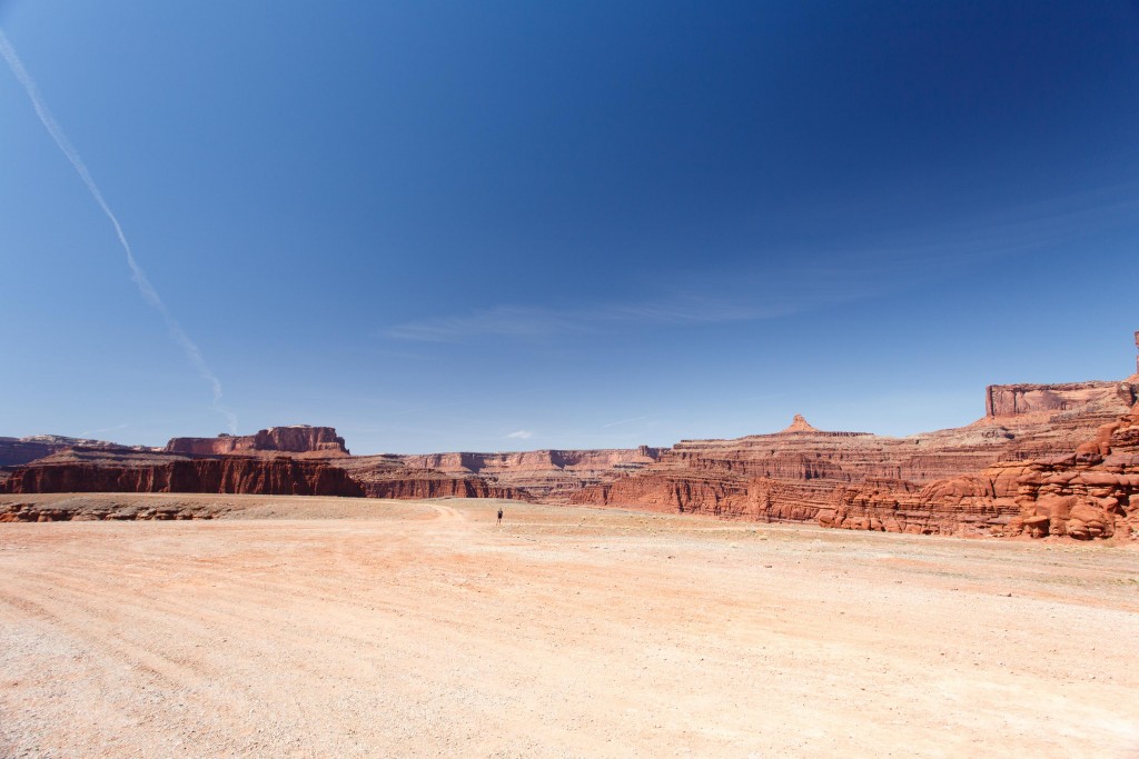
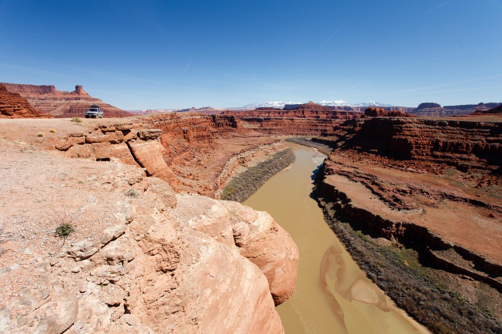
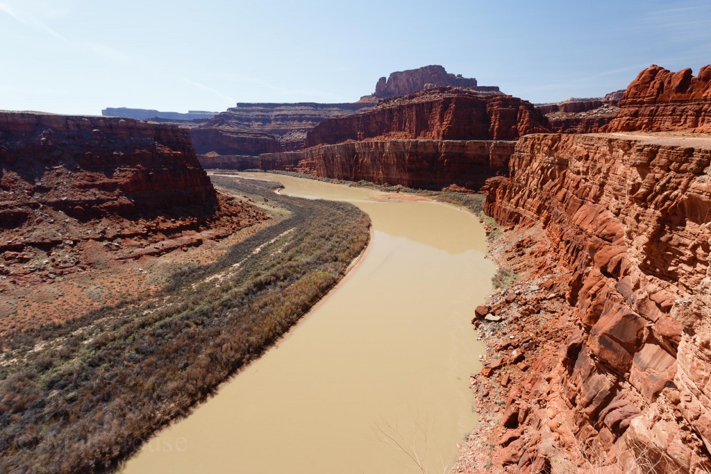
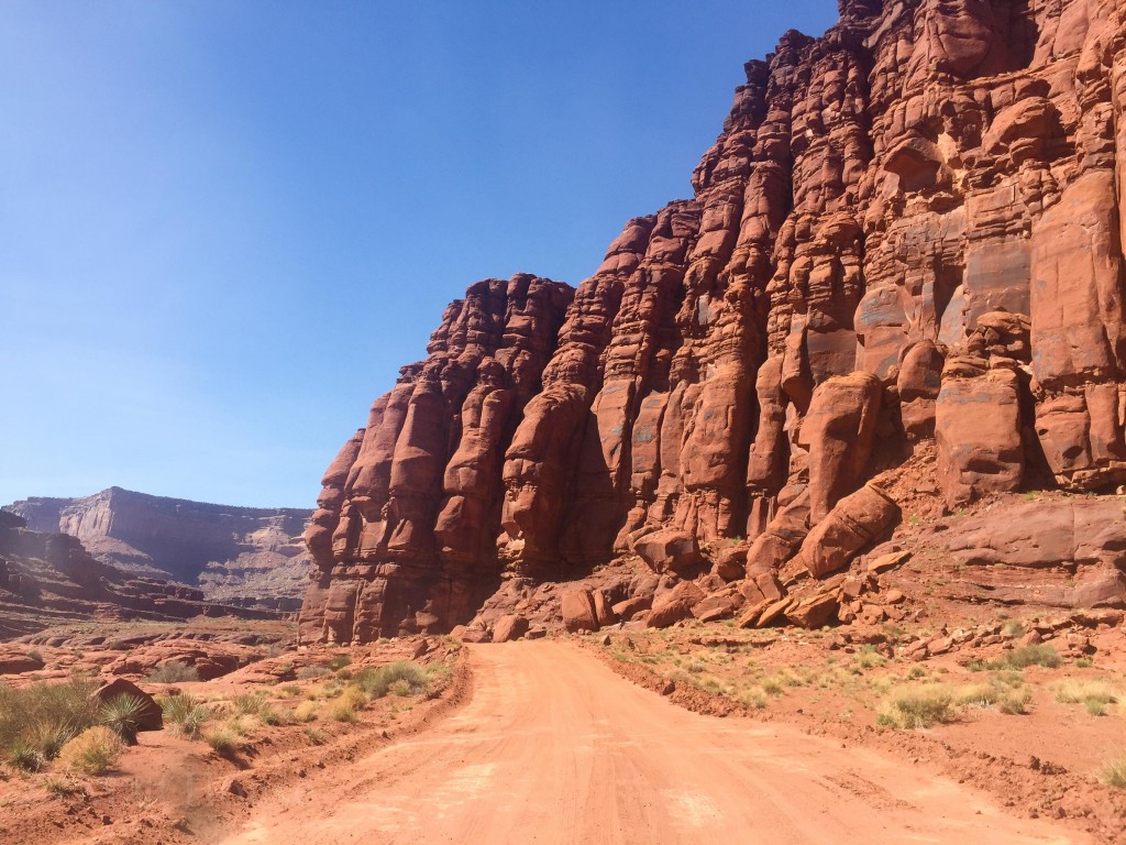
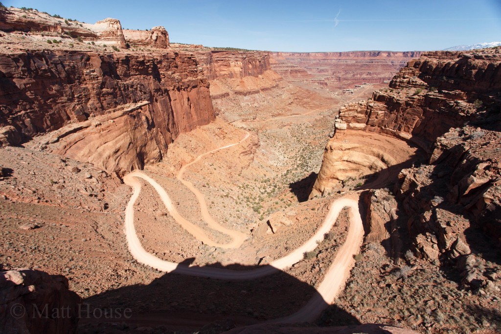
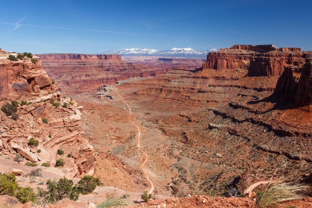
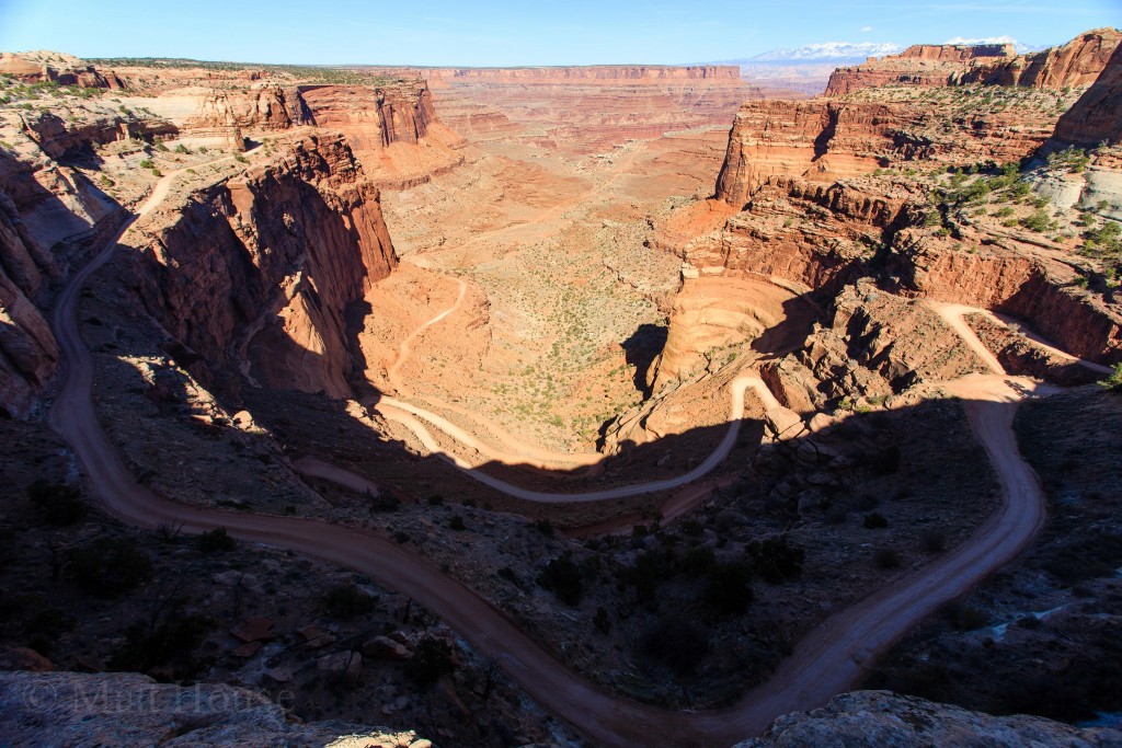
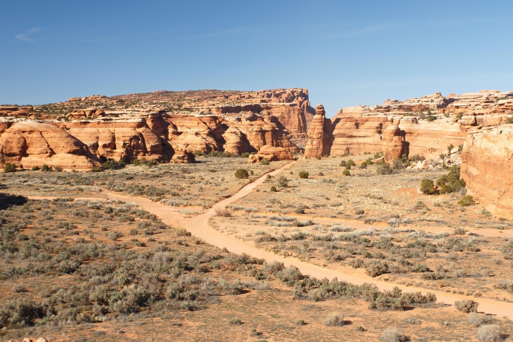
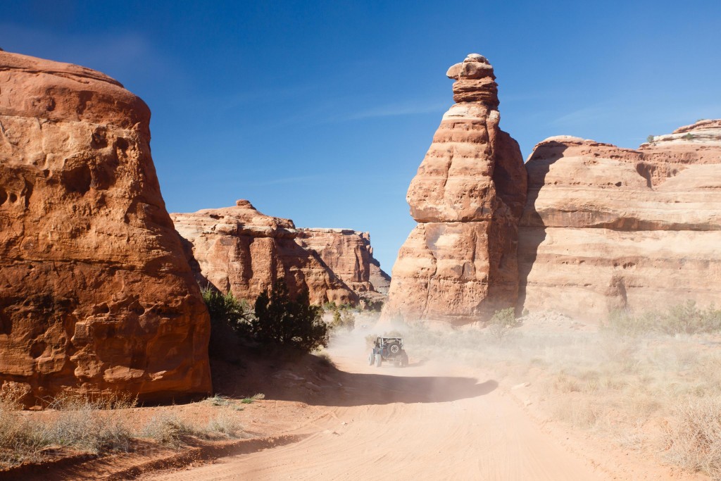
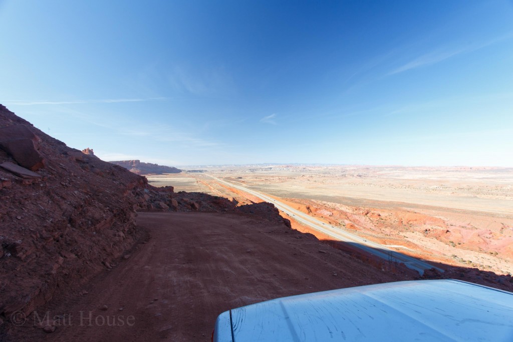
The plan was to drive to the end of Potash Road to get to the Shafer Trail and check out a little bit of Canyonlands National Park. Then if we had time, take the Gemini Bridges Trail back to Moab. During the whole thing I would say it only required 4wd in a couple spots. Mostly just higher clearance was necessary. Here’s a whole bunch of pics from all the driving:
At the top of the Shafer Trail is the Canyonlands National Park Island in The Sky visitor center. We stopped there and had lunch in the parking lot. Grabbed a couple post cards and a map. Then after checking out a couple overlooks we headed toward the Gemini Bridges Trail.
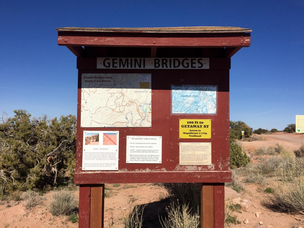
There is a lot of access to mountain bike trails and other 4wd trails from here. Also a short hike to a couple arches (The Gemini Bridges) that we accidentally passed. Oops. It’s cool though. The whole drive is insanely scenic.
There are a few backcountry sites off the road that seem really cool. I’d like to come back at some point and stay there instead of an established campground.
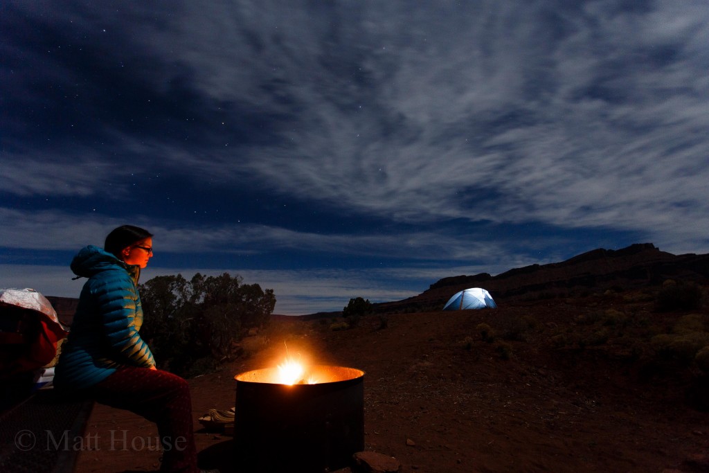
After getting back to the main road we hit up the Moab Brewery for dinner. Definitely should have tried a different place as the brewery was packed and not really that good. Oh well. It was the last night so we just headed back to camp to hang out and have a campfire.
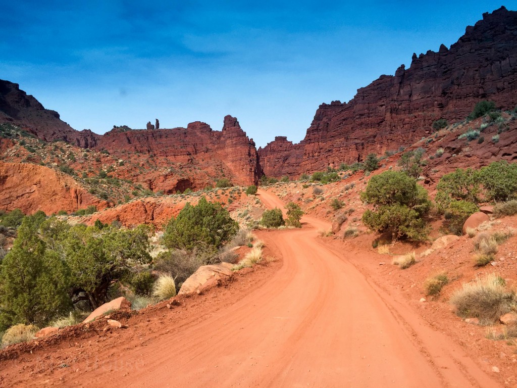
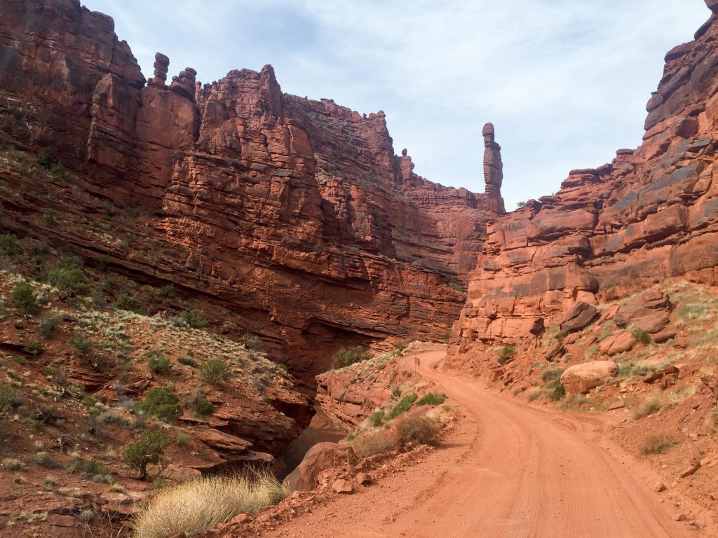
The next morning we woke up, made breakfast, and packed up. The Onion Creek road was next to camp all weekend, and all weekend I wanted to drive down it to check it out. So after packing up we went for a drive to see what it was about.
https://www.instagram.com/p/BD1SV-CrNgk/
It was awesome! The road crosses the creek about 30 times on its way to some other roads that eventually link up to the La Sal Loop. Seems like a really cool trip in itself. Definitely want to check it out in the future.
Such a cool area. I really want to get back and mix some off road driving with climbing. Maybe in the Fall…
We took turns driving sections of the road on the way back. Then I took over at the highway and we started the long slog back to Boulder.
